


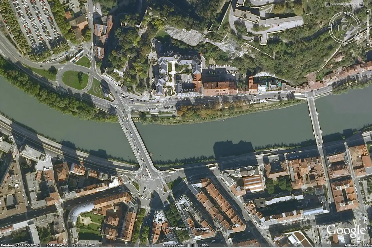
It originally started as EarthViewer. This was the name used by Keyhole Inc. when they released this software in 2001. Two years later it was acquired by Google. They renamed it Google Earth. Now it’s a huge virtual globe. You can zoom from space to your own street. Accuracy varies. Some places are crystal clear. Others are pixelated blocks.
This engine uses over a billion images. Satellites. Aerial photography. It stitches them to create a seamless view of the globe. You can see the city in 3D. You can walk around the city with Street View. You can see the changes that have taken place over the decades with a time-lapse video. Anyone can use it for free. There is also a paid tier, but you can still use the core experience.
Evolution from startup to global infrastructure
Google bought this technology in 2004. Why? Because they saw the potential for a digital twin of the planet. Previously, maps were static. paper. ink. Static JPEGs. Google Earth changes that. It makes the world interactive.
Software is everywhere. You can run it in your browser. Download the version for Windows, macOS or Linux. It’s on iOS. It’s on Android. This ubiquity matters. This means you are not locked into a specific desktop environment. Explore the Andes on your phone while commuting. You can analyze the terrain on your laptop.
Now there are many different versions. The basic version is free. This is sufficient for most users. Next is Google Earth Pro. It used to cost money. It’s free now. Provides advanced measurement tools. High resolution printing. And deeper data management. For large companies, there is Google Earth Studio. It is for video production. This allows for cinematic camera movements through the 3D globe. It is not intended for casual viewing. This is for creators.
How Google Earth Engine expands the utility
Google Earth is a viewer only. The actual heavy lifting is done elsewhere. Enter Google Earth Engine. This is a platform for scientists. Educators. Researchers. It processes geospatial data. It’s not just about showing pictures. Analyze them.
Think of it this way. You can see Brazil’s forests on Google Earth. You can watch it disappear over ten years. However, Google Earth Engine allows you to measure this loss. Disease outbreaks can be predicted based on climate data. Helps manage natural resources. Follow the migration of species. Supports the development of algorithms for spatial analysis.
This is where consumer tools differ from professional platforms. A work that shows you the world. Another mechanism that helps us understand the world.
What can you actually do with Google Earth?
The areas of use are very wide. It’s not just looking at a map. Here’s how people actually use it:
Navigation and planning
- Search for a specific address. Quickly.
- Create custom maps. Add your own points of interest.
- Measure the distance. Exact meters. Exact feet.
- Calculate the area. For land plots. For roofs.
- Plan your travel route. See the path before you take it.
Exploration and Education
- Virtual tourism. Walking the streets of Tokyo. Climbing Kilimanjaro. Do it from your couch.
- Find obscure locations. a hidden cave. remote villages. Places Google has captured but not highlighted.
- Study geography. terrain tools
Where exactly do these satellite images come from?
You aren’t looking at a single source. Google Earth combines high-resolution data from government agencies, geological surveys, and commercial image providers. Companies such as GeoEye, DigitalGlobe and NASA are major suppliers. These images are not static snapshots. Over time, they are captured and mosaiced into a coherent whole.
Want to know exactly what you are looking at? Zoom in. The specific provider and the date the photo was taken are shown at the bottom of the window. It’s transparency by design.
What is the actual resolution of Google Earth?
Average resolution ranges from 15 meters to 15 centimeters per pixel. This is a very wide range. One pixel can cover an area as small as 15 square centimeters or even 15 square meters. However, the maximum resolution is about 2.58 centimeters per pixel.
The level of detail is amazing. You can see wild animals. You can find certain vehicles. Sometimes you even get a glimpse of the people and their surroundings. This is more than just a map. This is a high-fidelity record of the ground.
How are 3D models and Street Views created?
Street View is more than just a satellite view. Grounded. The images come from vehicles moving on the road, snowmobiles on winter roads, motorcycles passing through traffic, pedestrians on foot. Participants can also upload their own photos with their smartphones. This is a crowdsourced mosaic of ground-level reality.
3D views are another story. These are not produced with vertical shots. They used images taken from different angles of the plane as it “flew” through the sky. By stitching these oblique views together, the software builds depth. It turns flat photos into navigable spaces.


